
 Report/Complaint
Launching of the fifteenth workshop on satellite applications at the Center of Excellence for satellite applications - Muscat 16-20 February 2020 weather of the seas
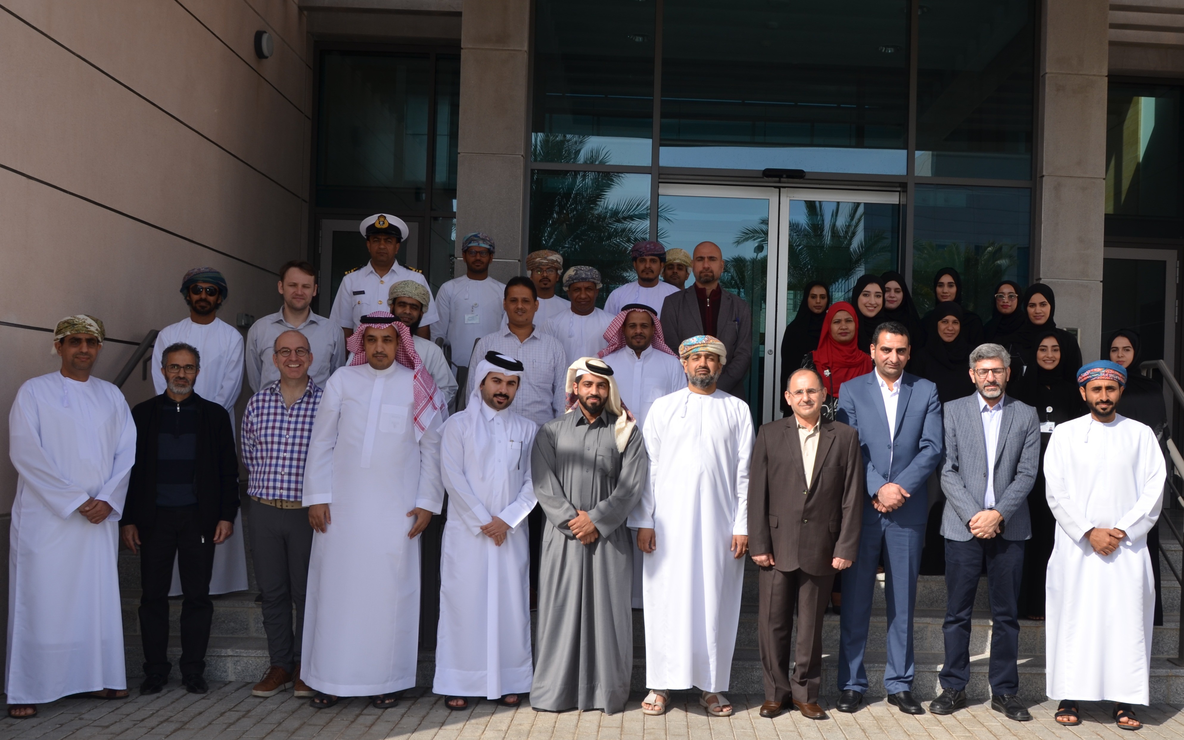
The activities of the fifteenth workshop for meteorological satellites applications, which will continue until February 20, 2020, were organized by the Seventh Center of Excellence for satellite applications of Meteorology managed by the General Directorate of Meteorology at the Public Authority for Civil Aviation, where this workshop is held annually and sponsored by the European Organization Satellite (EUMETSAT). The workshop aims to train meteorologists from the Sultanate, the Gulf States and the Middle East on modern satellite applications to track and analyze weather conditions.
This workshop includes various topics related to remote sensing science and its applications with a focus during this session on satellite weather applications, in addition to practically training participants in analyzing satellite images through realistic examples from work environments and live examples of the Indian Ocean region, giving lectures and supervision training for specialists from the European Satellite Organization, from international research centers, and from the Directorate General of Meteorology.
It is worth to mention that the World Meteorological Organization (WMO), which is based in Geneva in Switzerland, has chosen Omani Meteorology to embrace the seventh excellence center in the world for training in environmental satellite application science and sponsoring research related to it in the region for its distinguished role and active participation in developing international cooperation in this field In addition to the availability of many qualified scientific cadres in this field from the Omanis, the center was opened in February 2006 as a joint project with the Directorate General of Meteorology at the Civil Aviation Authority .
The European Satellites Organization is characterized by its good coverage of the Arabian Peninsula and the Indian Ocean region, as it updates its data once every fifteen minutes and some of it every 5 minutes. The second generation of these satellites is known for its ability to show many characteristics of clouds and more comprehensive detection of natural phenomena such as tropical cyclones, winter depressions, fog and dust, and their movement, as well as satellite data enter into the figures of numerical forecasts, as numerical forecasts derive 70% of satellite data directly and indirectly.
One of the most important tasks of the European Organization for Meteorological Satellites Applications EUMETSAT is to invest these satellites in a manner that ensures the availability of renewable images and data on weather, climate and other environmental outputs around the clock and throughout the year for twenty of its members and ten cooperating countries in the program from Europe to benefit from them in navigation forecasts Air and sea.
It is also worth mentioning that satellite applications are one of the applications of extended science, which is call remote sensing, a relatively recent term where it was used with the launch of imaging technology from space in the sixties of the last century, and remote sensing is defined as measuring or collecting data on objects. Alternatively, interesting phenomena of a device that is not directly related to the phenomenon or body being studied, and the use of electromagnetic, sound, or seismic waves emitted naturally or artificially from the bodies or those that are bounced back from them.
The importance of remote sensing science of all kinds is shown to be the cheapest and most effective way to collect important information about the Earth and its weather and to identify continuous changes in its geography and climate and help in the constant monitoring of its important resources for human civilization. All disasters from floods, earthquakes and hurricanes.
It should be noted that with the conclusion of this workshop, the number of cadres trained since the inception of the center will reach 325 trainees from meteorology, environment, water resources, agriculture, universities and organizations interested in marine science in the Middle East region.